Cordillera Blanca Yanapaccha Peak climb 5460m
02 or 3 days trekking – One Day ex Huaraz & return to Huaraz
Grade:
AD- / Moderate snow slopes – some steep climbing
Highest Point:
5460m / 17913 ft
Looking for a challenging short climb or an acclimatisation peak away from the more well known and popular Pisco?
Yanapaccha is situated in the Llanganuco Valley adjacent to Pisco, but is much less well known and less frequented by climbers.
It is a moderately difficult climb with some steep sections & crevasse negotiation and is not suitable for first time climbers, but an ideal peak for experienced climbers or novice climbers who have received instruction and are looking to extend their climbing level.
It is necessary to carry all equipment up to Morena Camp. Porters carry tents, food, climbing rope up to Camp and back, but you need to carry your own personal gear. For novice climbers wanting to attempt a challenging peak with some technical climbing, we can include one or two days climbing instruction on the glacier before the summit climb.
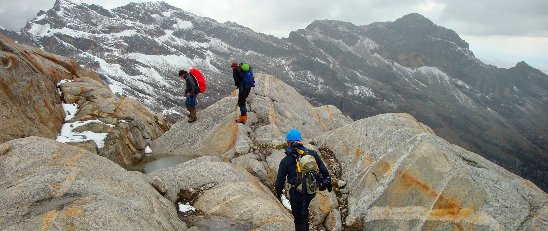
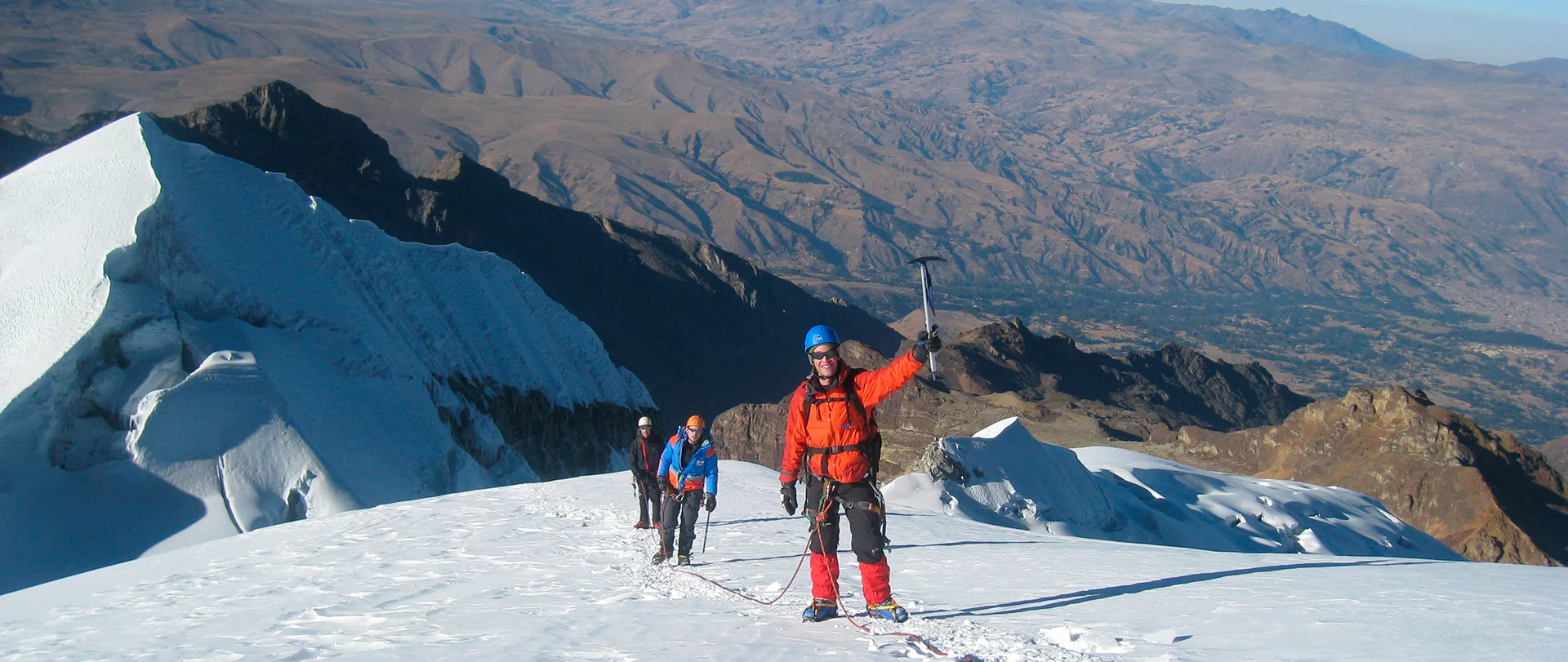
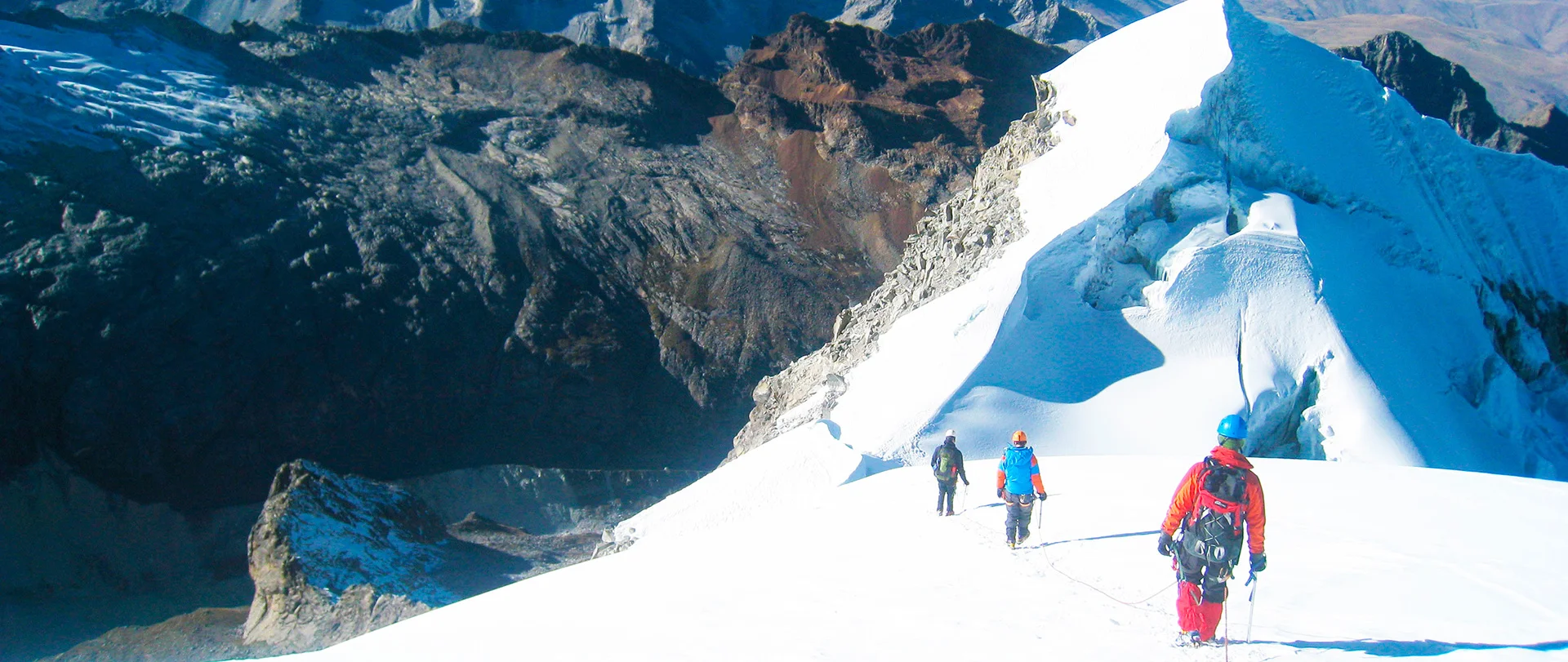
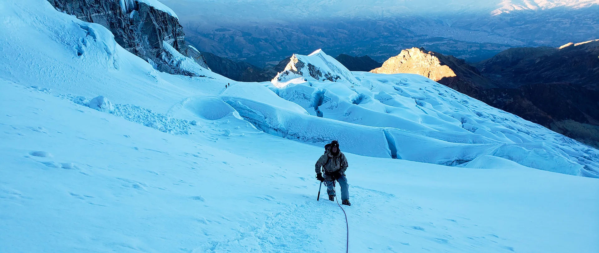
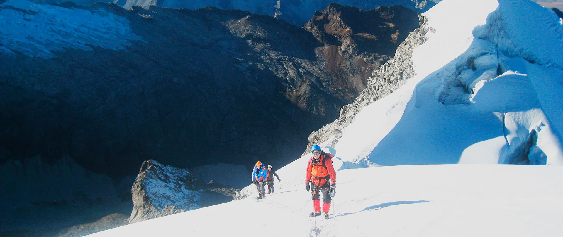
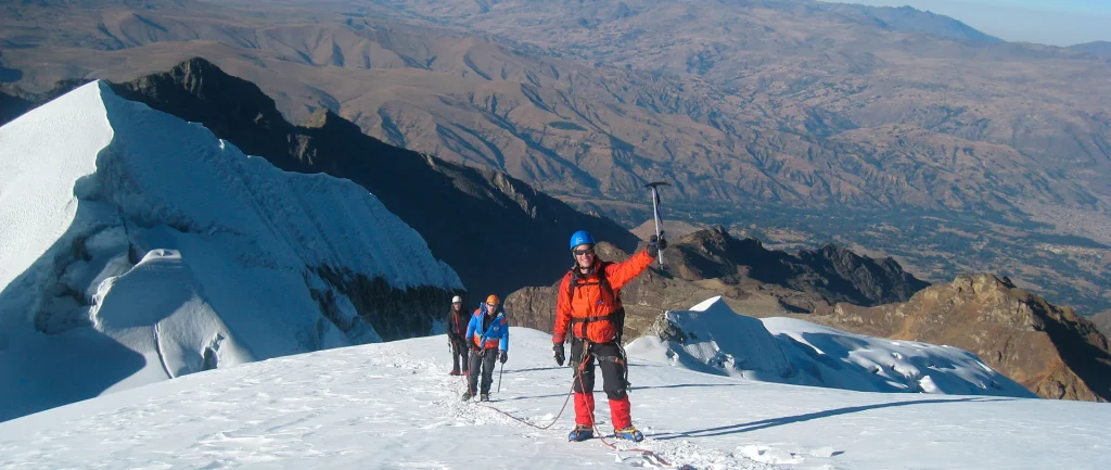
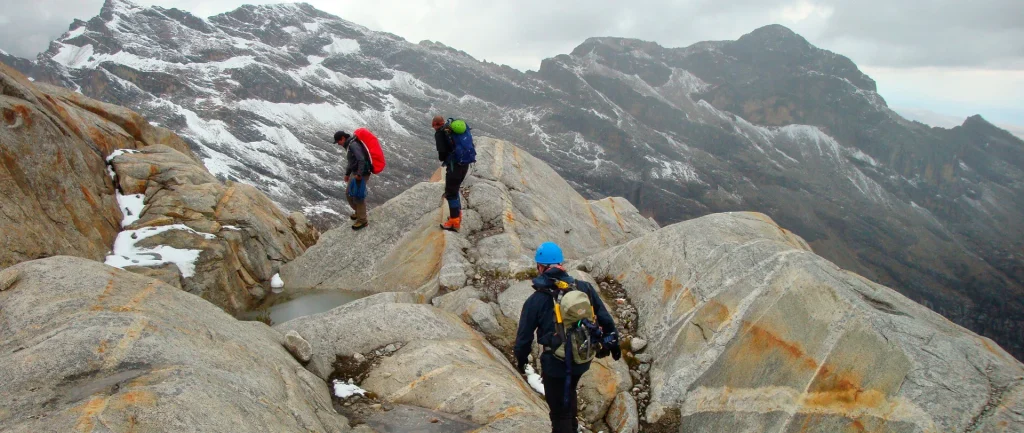
The climb starts from the left of the tunnel climbing up an unmarked rocky trail and over moraine rock, sometimes steeply, for around two hours until we reach the Mateo glacier where we put on climbing gear (harness, helmet, crampons, ice axe) and rope up.
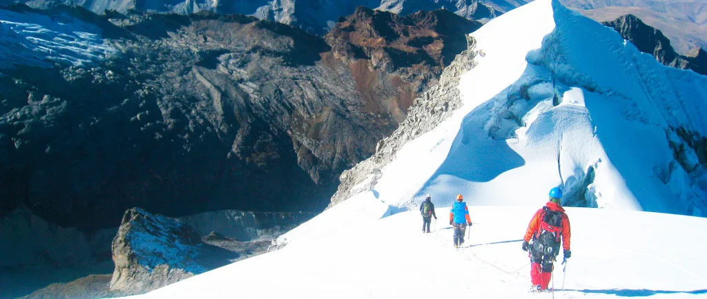
To get onto the glacier we have to initially climb up a 40m steep ice wall and the guide will fix a rope if necessary and help you with this. The rest of the route is a steady climb on mostly nice snow slopes up 40 to 50 degrees, mixed with some steep short sections of hard ice which the guide will help you with. It is around 2 hours climb from the start of the glacier to the summit.
On the broad summit you are rewarded with spectacular close views of all the surrounding mountains and good photo opportunities.
Descend back the same way and drive to Huaraz arriving tired but happy around mid afternoon
Note 1: Acclimatisation & Fitness
This is a VERY HARD trek and it is important that you are well acclimatised to the altitude before you depart from Huaraz to start the trek.
On the first day when you travel from Huaraz to Quartelhuain 4168m / 13675ft by road you have an altitude gain of 1100m / 3609ft in a single day and on the first day trekking you cross a pass of 4680m / 15354ft
We highly recommend three days (four nights) for acclimatisation in Huaraz, doing day hikes progressively gaining altitude to above 4000m to be well acclimatised for this trek.
If you start your trek from Quartelhuain at 4168m without sufficient acclimatisation, the risk of becoming unwell with altitude related problems during the first days of the trek is high
It is important to have good physical fitness and be able to hike up to 2 hours to the top of a high pass each day during the trek.
Trails on this trek are often steep – both ascending and descending and can be slippery & rocky in places. Trails are not formed paths and are not maintained, they are dirt trails also used by animals and are uneven underfoot.
The trail over Trapecio Pass is not a formed trail. Much of the way is route finding through tussock grasses and over moraine rock. You need to be comfortable with this type of hiking
You should NOT consider this 9 (or 8) day trek unless you have good physical fitness and are well acclimatised to the altitude.
Note 2
Walking times are average hiking times. The altitude affects people differently. Some people will be faster than the indicated times and others will be much slower.
Note 3
The Cordillera Huayhuash is becoming known to be one of the most beautiful high altitude treks in the world. Although you are trekking through a remote area, you can expect that there will also be several other groups and also independent hikers on the route
Note 4
The Huayhuash trek route is all on community owned farmland. There are small farm houses and some farm animals (cattle, sheep, horses and sometimes alpacas & llamas) all along the trekking route, included surprisingly at the top of the high passes
Note 5
All land along the Cordillera Huayhuash trekking routes is privately owned community farmland (not National Park or Government owned). The local Huayhuash communities allow trekking groups to pass through and camp on their private land and we ask that all hikers respect their goodwill in allowing us to hike in the beautiful Cordillera Huayhuash by leaving no rubbish, taking care of farm animals and respecting the local people that we will meet along the trek route and in campsites. Each community charges access and camping fees for each campsite (included in trek fee). As part of the camping fee they provide toilets in the campsites.
Itinerary
Day 1: 5150m / 16896ft
One Day ex Huaraz & return to Huaraz
Drive from Huaraz to Cebollapampa, passing by the famous twin lakes of Llanganuco and then continue up to a hairpin bend in the road at 4580m. From here we hike to Morena Camp for about 3 to 3 ½ hours to the campsite. (5000m)
One Day ex Huaraz & return to Huaraz
The initial ascent onto the glacier is usually a short steep ice climb & then there is more gentle terrain on the glacier . There are crevasse fields to negotiate and the last 200m to reach the summit is steep 65 deg. About 3 to 4 rappels are required during the descent. Return back to Morena Camp & then back out to the road where our private vehicle will be waiting for us (10 to 11 hours for the day) and we return back to Huaraz.
One Day ex Huaraz & return to Huaraz
Climbing Instruction: Stay an extra night(s) in Morena Camp – Include a day or two of ice climbing and / or rescue training on Yanapaccha Glacier before climbing to the summit on the final day.
Hiking Hours & Kms Hiked
Hiking hours are estimated times including rest breaks and lunch stop. Times are for our average groups based on past experience. Some people may be much faster and others slower.
Kms hiked are estimated.
Trek Roads
Access roads to and from treks are generally dirt mountain roads (not paved) and in some places can be bumpy. Road travel times are slower than you may expect for the kms travelled.
Contact us for more information and prices.
If you know, tell us the approximate dates that you would like to be climbing and the number of people in your group, as well as if you prefer a private Climb or would be happy to join with other people.
Print Copy / PDF trek description & more photos
For more Huayhuash Trek information, prices, advice and personalised advice

